
Search the Coolbaugh Township Street Directory
Begin a street-by-street search with the address, not a name. Monroe County separates parcel research, map browsing, recorded documents, and voter information into different systems. The Assessment search can establish an owner-associated parcel. The public GIS can put that parcel on the correct road. The Recorder can document recorded transfers. A county Street List or Walking List may add a limited registration layer when it is requested under the current rules. None of those sources is a complete list of everyone who has lived at a property, so keep ownership, registered-voter information, and historical household evidence in separate notes.
- Enter the physical address in the Monroe County Public GIS Search, using its abbreviated street style if needed. Record the parcel ID and the road segment.
- Use the parcel clues in the Monroe County Public Property Search. Save the property number, map number, owner clue, and any distinction between situs and mailing address.
- Search the owner and legal-description clues through the Monroe County Recorder of Deeds to identify the recorded transfer and its grantor and grantee.
- For a defined road, request the appropriate Monroe Street List or Walking List from Elections and Voter Registration, rather than trying to turn the individual status tool into a street search.
- For an older address lead, ask MCHA whether the selected directory or telephone volume includes the needed locality or a street section. Do not assume every volume is reverse indexed.
That sequence starts with the map and ends with records that can be dated. It also leaves room for a no-result. A missing name may reflect a different mailing locality, a changed address, an unlisted number, a protected record, or simply a source that does not cover the question.
Coolbaugh Township Address GIS Rules
The GIS is the strongest first map tool for a Coolbaugh Township street directory search because it accepts address, owner, parcel ID, and street-name modes. Input style matters. The interface gives 123 MAIN ST as the address form and says that spelling out STREET is wrong. For a whole road, use MAIN ST or MAIN. Owner searches use last name, a space, then first name, with no comma. Coolbaugh is municipality 03 in the county list, and the GIS says parcel IDs need two municipality digits. That code helps distinguish the township parcel from a similarly named road elsewhere in Monroe County.
The public GIS interface shows the address, owner, parcel-ID, and street controls that support those routes.
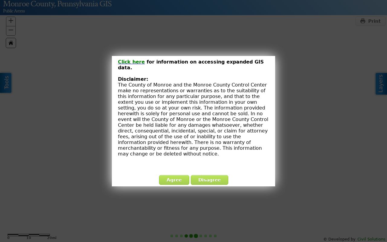
After a match, use the selected-result and pan controls to inspect the road segment or move to an adjoining parcel. The inspected interface also shows print and length or area measurement tools, but no verified radius search or automated neighbor list.
| GIS search mode | Entry needed | Coolbaugh street-directory use |
|---|---|---|
| Address Search | 123 MAIN ST | Find one mapped address using the required abbreviation. |
| Street Name Search | MAIN ST or MAIN | Start a road-segment browse and select parcels individually. |
| Owner Search | Last First, no punctuation | Test an owner-associated lead from another county record. |
| Parcel ID Search | Two municipality digits required | Return to a known Coolbaugh parcel after a title search. |
Note: GIS map navigation identifies parcel context, but it does not establish every person currently present at a mapped address.
Coolbaugh Township Street Property Keys
Assessment is the county's owner and parcel layer. Its advertised search keys are Property Number, Name, Address, and Map Number. Use whichever key is already supported by your papers or map result, then write down the matching key before opening a title record. The county says a mailing-address change must be submitted in writing and signed by the owner. That makes a mailing line useful information to preserve, but it also shows why it must not be treated as a physical-occupancy finding.
The county's Assessment and GIS resource page connects its property-search and mapping routes.
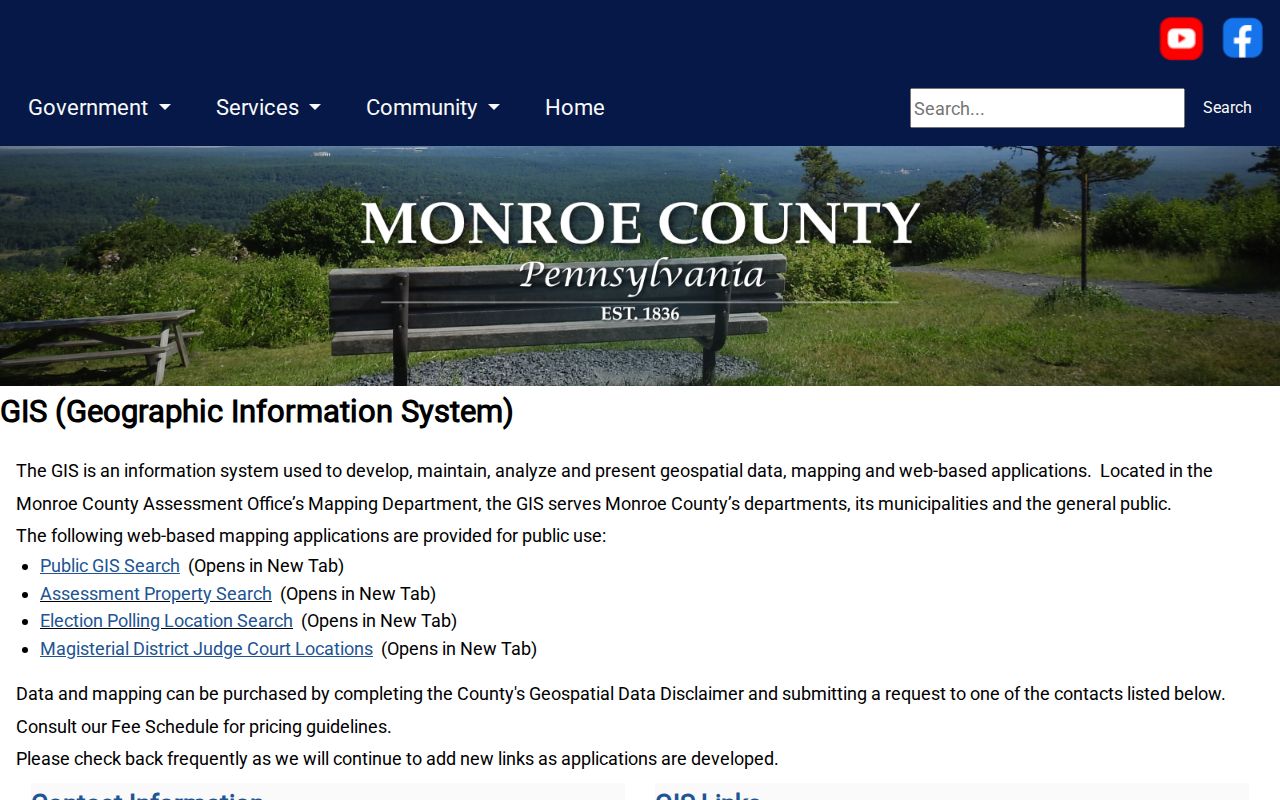
Use the county resource page as the starting point when an address search needs both a parcel query and map review. The live property result card was not fully inspected, so a search should not promise a fixed set of parcel-card fields.
| Assessment field | What the county confirms |
|---|---|
| Property Number | A property-search key for the county's parcel research. |
| Name | A property-owner research key, not a household roster. |
| Address | The direct address route for a known Coolbaugh Township location. |
| Map Number | A fourth advertised key that can connect a map lead to assessment. |
Coolbaugh Township Street Address Labels
Three address terms prevent common mistakes in a Coolbaugh street directory search. A situs address is the on-the-ground location used by the GIS. A mailing address is the correspondence route and may be changed by its owner. A legal description is the lot, block, subdivision, plan, or other description in a recorded document. Older records can also use a different road label, village name, or development description. The legal description often supplies the steadier link when the modern address does not match an old entry.
- Parcel
- A mapped unit of real property used to connect assessment information with the correct location.
- Situs address
- The physical address of the parcel, distinct from a mailing route.
- Plat or plan
- A recorded map or subdivision document that can identify lots, blocks, or road layout.
- Criss-cross directory
- A directory arranged by address or street rather than surname. MCHA does not verify that every local volume has one.
Coolbaugh is a township with dispersed developments and postal localities such as Tobyhanna, Pocono Summit, and Pocono Lake. Parcel geography, not the ZIP label alone, establishes which municipal record route applies.
Coolbaugh Township Street Records by Address
A street directory becomes more useful when each address record is given its proper job. Assessment and GIS establish a parcel and an owner-associated lead. The Recorder documents transfer history. Township Codes and Zoning files can date applications, plans, approvals, or enforcement material for a defined parcel. Election lists are separate request products. Historical directories can support a dated name-and-address lead when the volume covers the proper locality. These sources overlap, but they are not substitutes for one another.
| Address record | Custodian | What it can establish | Access route |
|---|---|---|---|
| Assessment property record | Monroe Assessment | Owner-associated parcel and property or map keys | Property search or assessment counter |
| GIS parcel view | Monroe GIS | Map location, road context, and parcel search bridge | Free public viewer |
| Recorded documents | Monroe Recorder | Grantor, grantee, date, document type, and legal description | Landex, webstore, or Recorder books |
| Permit and code material | Coolbaugh Codes and Zoning | Defined project, plan, or enforcement chronology | Counter or precise RTKL request |
| Street or Walking List | Monroe Elections | Authorized voter-registration fields for the requested road | Current county request process |
Use the parcel number and legal description to keep the county and township records on the same property. Use the street name only as a search path, not as proof that every matching name belongs to the same parcel.
Coolbaugh Township Deed Trail by Street
For ownership history along a Coolbaugh Township street, follow the recorder's parties rather than relying on an address string alone. Search the current owner as grantee to locate the acquisition deed. Preserve the grantor, grantee, document type, recording date, instrument number, volume and page, and legal description. Then search the seller as grantee to locate that person's earlier purchase. A related-party transfer or exempt transfer may not describe an ordinary sale, and a stated consideration is not necessarily market value.
The Landex webstore is the remote path for accessible recorder documents, where a document can be selected, placed in a cart, paid for, and downloaded as a non-certified copy.
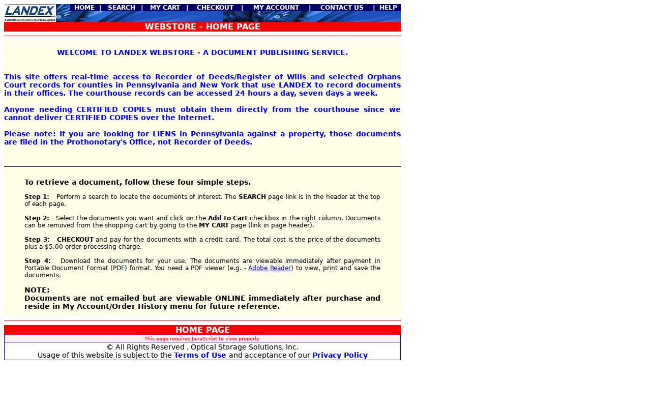
Landex is only one part of the record trail. The Recorder's counter has public title-search stations, and certified copies must be obtained at the counter. A mail copy request needs the name, book, and page plus a self-addressed stamped envelope.
Recorder coverage changes at a firm boundary. Bound books cover 1836 through July 31, 1995, with microfilm backups. Landex holds August 1995 forward. For a long street history, work remotely to that edge, then continue through the Recorder's books or microfilm. The Recorder lists 50-cent search-room prints, $1 per mailed or recorded-document copy page, and $3 for certification, so identify the requested channel before relying on a quoted cost.
Coolbaugh Township Street Permit Files
Township files provide a physical-development timeline, not a resident list. The zoning application asks for a property tax assessment number or PIN, physical property address, development, lot, block, section, proposed activity, and owner or applicant details. A defined permit or plan can help date a project at the parcel. It cannot prove that work was completed or establish who lived there. The application portal is a filing channel, and no public historic address-keyed permit search was verified.
Ask Coolbaugh Codes and Zoning for a narrowly described record by parcel or address and a controlled date span. For materials not self-published, submit a written, faxed, or emailed request under the Pennsylvania Right-to-Know Law process used by the Township. The statewide law generally calls for a final response within five business days, with a timely interim response able to extend the date no more than 30 calendar days.
Note: A permit applicant may be an owner, contractor, or agent, so permit material should be read as project evidence rather than occupancy evidence.
Coolbaugh Township Voter Lists by Street
Monroe County's Street List is the appropriate election route for a specified road. The county describes it as containing name, residential address, mailing address, party, and active or inactive status. A Walking List is similar but omits the mailing address. The statewide voter-status service is for a defined individual's registration status, not a bulk street lookup. Request the county product that fits the lawful question and follow the current form's limits, delivery terms, and fee information.
A Street List can document registration information for that road. It does not prove every current resident, identify unregistered occupants, or disclose ballot selections. Protected registrants may be absent or use a substitute address. The election request must not be republished as a street-by-street household dossier.
Coolbaugh Township Street Numbering Check
Current address numbers need a date check before they are matched to old records. County Planning's E-911 Readdressing Project assigns addresses for new construction, adds roads, and maintains the Master Street Address Guide. It began in 2010 and had approached 30,000 assignments or corrections, including about 750 in 2025. Coolbaugh also links an E-911 Readdressing Ordinance. The official material reviewed does not establish its effective date or a road-by-road conversion table.
That uncertainty is useful, not a reason to guess. When a historic result appears close but not exact, compare the road name, cross road, development, lot or block, tax map, and legal description. Ask the Township or county authority for the ordinance, map, or conversion material before declaring two numbers to be the same address. This is especially important where older documents use historic local names such as Tobyhanna Mills, Forks, or Naglesville.
Coolbaugh Township Historic Street Clues
The Monroe County Historical Association at Stroud Mansion holds city directories and telephone books from 1892 to present. Its published description does not promise a reverse directory or a street section in every volume. Ask for the exact year, title, locality, and whether the volume covers Tobyhanna, Pocono Summit, Pocono Lake, Mount Pocono, or a broader Monroe County area. Those postal headings matter because a historic directory may not use the current township label.
For an address that runs beyond the recent deed trail, MCHA's newspapers, maps, family files, cemetery indexes, and funeral material can help test a dated surname or community lead. The collections themselves are treated in more detail in the Coolbaugh Township city directory collections. Monroe County Archives is a separate fallback for historic deeds, mortgage indexes, tax microfilm, and other series when a Recorder book or library source is incomplete.
Note: An owner, grantor, grantee, permit applicant, or directory entry is evidence about a record, not proof of every person who occupied the address.
Limits of Coolbaugh Township Street Records
No public source found for Coolbaugh functions as a complete household register. Assessment identifies an owner-associated parcel. The Recorder records documents and title parties. Election products are limited to eligible registered voters and use rules. Township permits and code files record particular projects or cases. MCHA collections may document a person in a selected time and locality. Each source can leave out people, dates, or the precise address connection needed for a conclusion.
Pennsylvania's Address Confidentiality Program can allow eligible participants to use a substitute mailing address in public-facing state and local records, including voter registration and court records. Motor-vehicle addresses are not a resident-search channel. When a result is unavailable or protected, respect the boundary instead of attempting to infer private information from other records.