
Coolbaugh Township Neighbors by Block
The public record for a block is a collection of small, different records rather than one neighborhood roster. Monroe County GIS shows the parcel geography around an address. Assessment and Recorder records can document an owner-associated parcel or a title party. Monroe Elections offers tightly regulated requestable voter lists, and a Township permit or code record can show a dated project at a defined parcel. Community groups add public governance and contact information, not private resident lists.
| Block source | What it can show | Access path |
|---|---|---|
| Monroe County GIS | Parcel geography, roads, and adjoining lots selected on the map | Free map browse and parcel selection. |
| Assessment and Recorder | Individual owner-associated parcel and recorded title parties | County property search, Recorder access, or counter research. |
| Street or Walking voter list | County-described registration fields for a defined road, subject to the selected list type | Current Elections request process and permitted-use certification. |
| Township permit or code file | Project, plan, or enforcement chronology for one defined parcel | Counter inquiry or a precise Right-to-Know request. |
| Association public materials | Board contacts, rules, meeting, minute, newsletter, or governance material | Each association's public contact route. |
Owners and current residents are different categories. An owner record can be a useful parcel lead, but it does not identify every person at that location. The same caution applies to a registered-voter result, an association board name, or a permit applicant. Coolbaugh Township neighbors should be understood only through the limited fact each source actually records.
Mapping Coolbaugh Township Neighbor Parcels
Monroe GIS supports a visual adjoining-parcel method. Start from a selected address or parcel, pan to the selected result, and click an immediately nearby parcel. Then repeat the individual parcel, Assessment, and Recorder review for that parcel. This approach is intentionally narrow: the official map is a way to browse and select one parcel at a time, not a published automated roster of nearby people or Coolbaugh Township neighbors.
- Locate the exact Coolbaugh Township address or parcel in the county GIS.
- Select the result and pan around the map to see the directly adjoining parcels.
- Click one nearby parcel and preserve its parcel identifier before checking the County property record.
- Use the recorder only when the ownership or document trail needs a recorded-party check.
- Repeat for another selected parcel, keeping each result tied to its own address and date.
For a longer road rather than the immediate block, the Coolbaugh Township street directory uses the county's address chain in a different way. It is the better route for a named street segment and its record trail.
Coolbaugh Township Neighbor GIS Controls
The Monroe County Public GIS exposes Address, Owner, Parcel ID, and Street Name search modes. It also provides selection, pan, measurement, and print controls. Those are the observed tools that make a focused parcel check practical. A Street Name search is useful when the question begins with a road segment; a selected address or parcel is the more precise starting point for directly adjoining lots.
The GIS map does not provide a verified radius or buffer search, an automated adjacent-parcel function, or a public household list. It also does not support a claim about every detail on a live parcel card. Treat the display as map context and carry the parcel identifier into the Assessment or Recorder route when another record needs checking. This distinction avoids turning a useful visual tool into a claim the source does not make.
Map limit. The County GIS can place and measure a parcel, but it does not publish an automatic neighbor search or a list of every person at an address.
Note: A selected map parcel is a starting point for an individual record check, not a completed block result.
Coolbaugh Township Neighbor Parcel Owners
After the map identifies one adjacent parcel, Monroe Assessment offers Property Number, Name, Address, and Map Number as search keys. The county frames that system as property-owner research. Record the parcel or map key and distinguish the physical situs from any owner mailing address that a live card may display. A different mailing address can be a contact fact, but it does not establish who is present at the parcel.
When a title question matters, the Monroe Recorder supplies the document path. A current owner can be searched as grantee to find an acquisition document; document type, recording date, instrument number, volume or page, and legal description help keep the parcel straight. Landex begins in August 1995. The Recorder's bound search-room books cover 1836 through July 31, 1995, so older work requires the counter and book or microfilm path. Certified copies are not supplied through the remote document-publishing route.
Note: A recorded owner and a resident are not interchangeable labels, even when their names appear near the same address.
Coolbaugh Township Neighbor Voter Limits
The county's voter-list options provide a limited civic layer, not a household census. A Street List includes name, residential address, mailing address, party, and active or inactive status. A Walking List has the same style of street information without mailing address. The broader Full Voters Export includes additional registration, district, polling, and history fields, but it is use-restricted, delivered electronically under the state form, and cannot be posted online. Ballot selections are not part of the county's listed fields.
The Monroe County voter-information request page identifies the county's available request routes and list types.
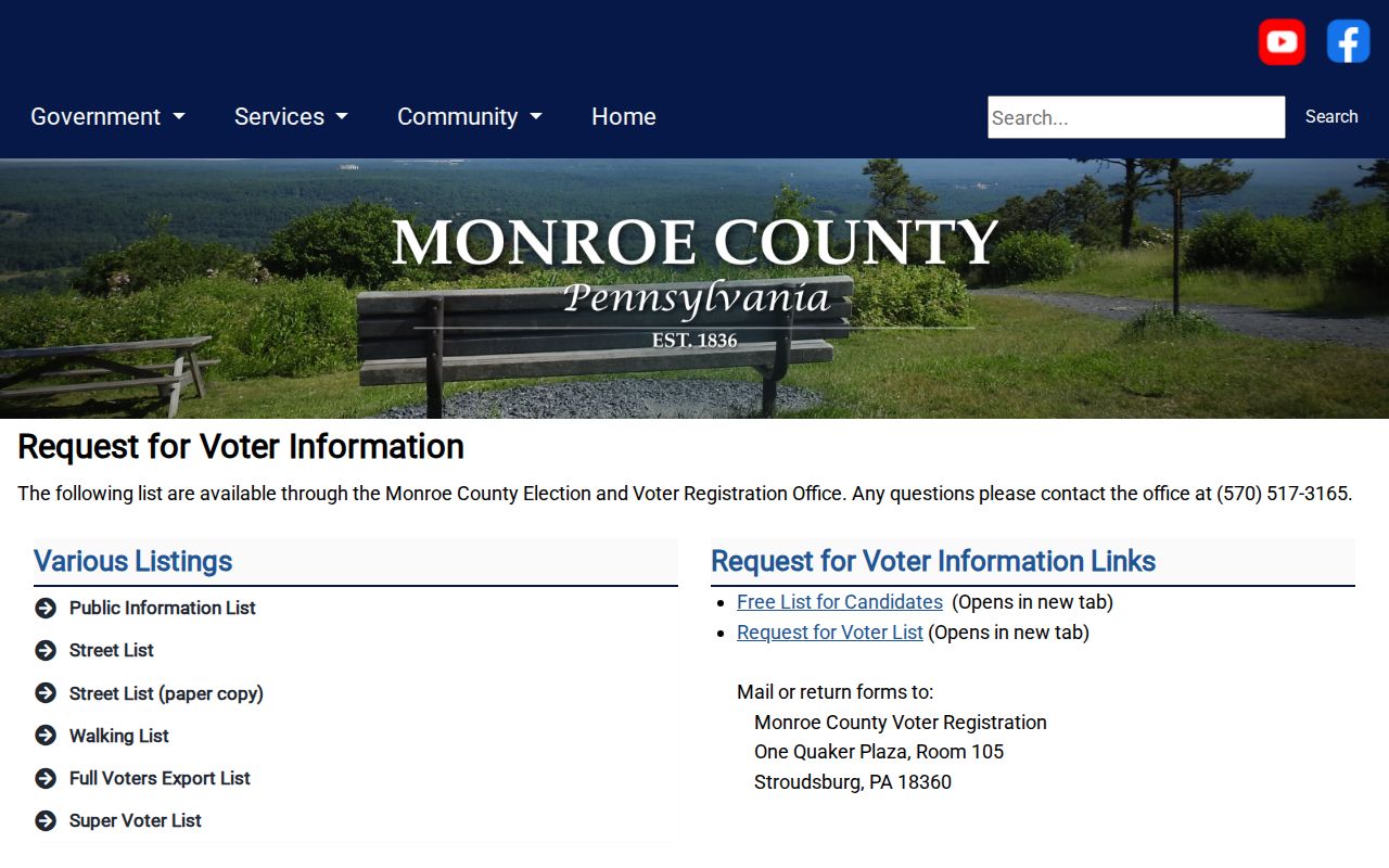
Use the current request form and its certification rather than attempting individual status searches for a whole street. A list can omit unregistered people, people who moved, protected registrants, and other people who may be part of a block.
Coolbaugh Township Neighbor Precinct Geography
Polling-place information can confirm part of the Township's local election geography, but it does not draw a full neighborhood boundary. Monroe County lists Coolbaugh precinct locations under more than one postal locality, including Pocono Summit and Tobyhanna. That variation is a useful reminder that a mailing locality or ZIP label does not by itself identify the municipal parcel or precinct line. Use the parcel map and county records when jurisdiction matters.
The Monroe County polling-place lookup shows the official address-based election reference used for geographic checks.
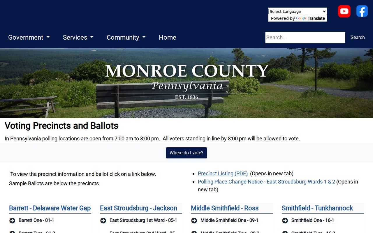
The polling-place display is a geographic aid only. It does not reveal a complete block, an ownership record, or a personal address beyond the service's intended use.
Note: A polling-place mailing locality can help check geography, but it is not a Township or parcel boundary.
Coolbaugh Township Neighbor Association Contacts
Development associations provide a public governance layer around some Coolbaugh Township blocks. Their public materials can identify board contacts, meetings, rules, financial material, newsletters, minutes, or community notices. Those materials do not establish a resident roster. The public boundary matters because member portals and private account systems are not sources for a neighbor lookup.
Pocono Farms East Association
Public materials describe board, meeting, governance, newsletter, minute, and Neighborhood Watch information for a Coolbaugh development.
Its public board meetings include a public-input portion. No public resident or member directory was verified.
Pocono Country Place POA
The documented account sign-up requests member-management details, including property address and association information.
That account system is not a public directory and should not be treated as one.
Stillwater Lakes Civic Association
A public shell and a resident-only private area were documented for this association.
Public contact material is distinct from private member information.
Arrowhead Lake
Its materials show interaction with Coolbaugh and Tobyhanna permit activity, while its service area crosses municipal boundaries.
Association materials offer governance context, not an address-by-address resident source.
Pocono Farms East reports more than 950 homes and about 230 undeveloped lots, with a nine-director board. Those figures describe the development's scale and governance, not the identity or location of individual members.
Coolbaugh Township Neighbor Sources Compared
Official records and commercial compilations answer different questions. The county systems identify the record holder and the defined fact: a mapped parcel, an owner-associated property, a recorded title party, or a voter-list field allowed by the current form. Commercial compilations may combine data from different dates and places. They can merge same-named people, retain old material, or omit the access limits attached to the original record.
| Source type | Best use around a block | Check before relying on it |
|---|---|---|
| County parcel and Recorder records | Confirm a specific property or recorded-party fact | Parcel identifier, document date, and legal description. |
| Election-office request | Obtain the defined registration fields permitted for a street or walking list | Current form, certification, list type, and confidentiality limits. |
| Commercial compilation | At most, a prompt to verify a fact with its actual custodian | Date, identity match, source, and whether the original record is current or public. |
For Coolbaugh Township neighbors, the strongest method remains a narrow comparison of current county records with the right date and parcel. If a commercial listing is inaccurate, its removal process may affect that compilation but does not amend Assessment, Recorder, court, or election records.
Coolbaugh Township Neighbor Privacy
Public access has real limits. Pennsylvania's Address Confidentiality Program gives eligible participants a substitute mailing address for public-facing state and local records, including court and voter records. The Right-to-Know Law also protects many sensitive fields. No verified local source supplies utility-customer information, DMV address data, a Township occupancy registry, or a public association member roster. A missing name may reflect a protected record, a different record system, or no record of that type.
Use a Township counter or a focused written, faxed, or emailed Right-to-Know request only for a defined public permit, plan, mapping, or code record. Do not ask an office to build a profile of a household. The lawful response to a protected or private record is to respect the boundary. For an immediate safety risk, call 911.
Lawful use. Use public Coolbaugh Township block records for personal, lawful research, community awareness, or property curiosity. Pennsylvania law prohibits turning these records into stalking, harassment, intimidation, or harm.
Note: Public availability of a record does not authorize contact, monitoring, or further disclosure of personal details.